Quick & Dirty: 5 Scenic Nashville, TN Hikes Under 5 Miles
Whether you went a little too hard at last night’s bachelorette outing on Broadway, are looking for something that older or younger family members can handle, or just don’t feel like spending all days on the trails, these short Nashville, Tennessee day hikes under 5 miles will provide you a quick and dirty nature fix.
If you’re feeling good and want to add on some distance, each of these parks also offer additional trails you can add on to your adventure.
1. PERCY WARNER PARK
Warner Woods Trail
Parking/Trailhead: Percy Warner Stairs or Deep Well Trailhead
Parking Cost: Free
Distance: 2.8 miles*
Elevation Gain: 550 feet
Map: Percy Warner Park Trail Map
Dogs: Leashed dogs permitted
Percy Warner is favorite among locals and visitors. Its proximity to Nashville proper makes it a great to get some woods in when you are short on time.
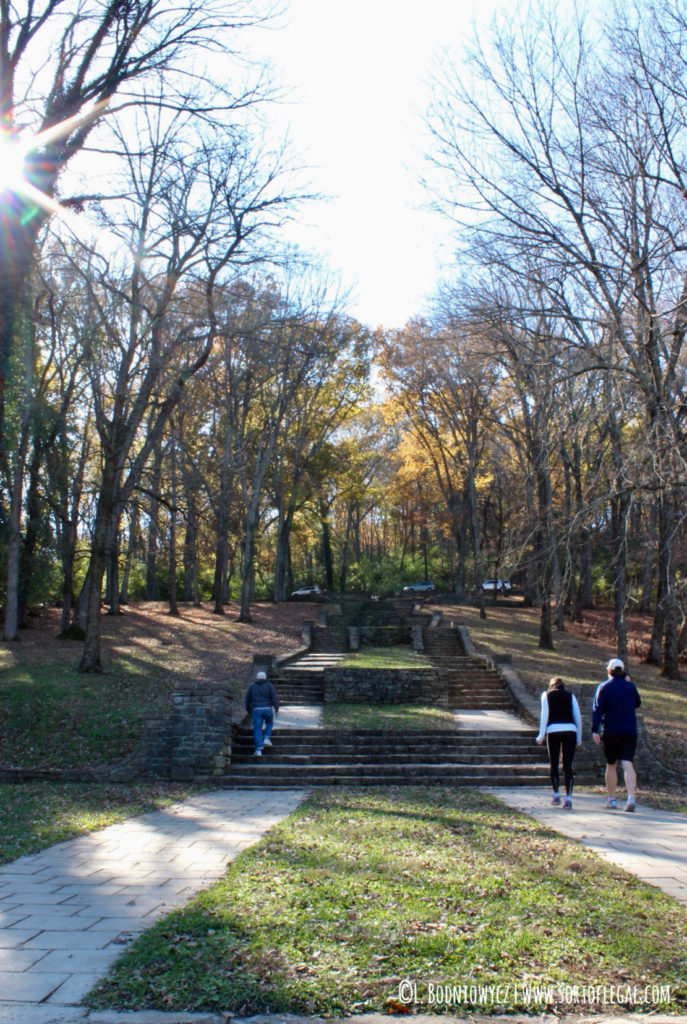
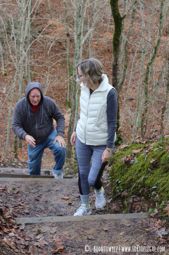
Follow the white blazes to enjoy the well-traveled, family friendly Warner Woods trail hike. The jaunt has enough rolling hills to make it feel like a workout. Just under three miles if you hop on via the frequently photographed stairs (also called the “Belle Meade Steps”).
A mid-way snack break is a good idea for kids or older adults who might need to catch their breath after some of the uphill segments.
- The steps at Percy Warner.
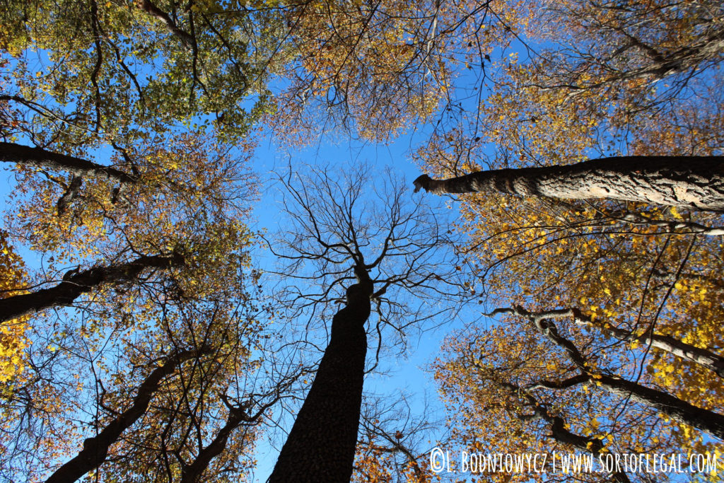
- Looking up.
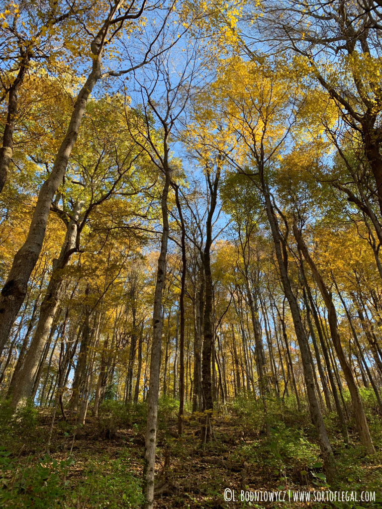
- The light + the leaves magic!
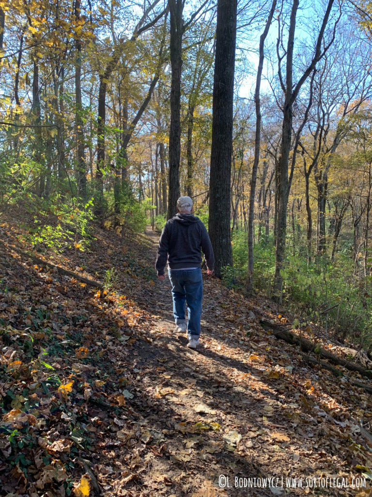
- George (dad) getting into a groove on a slight uphill.
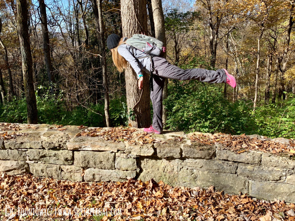
- Me! Finding things to climb.
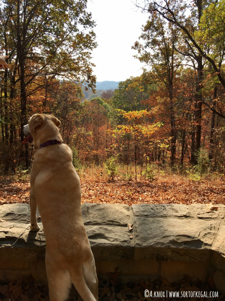
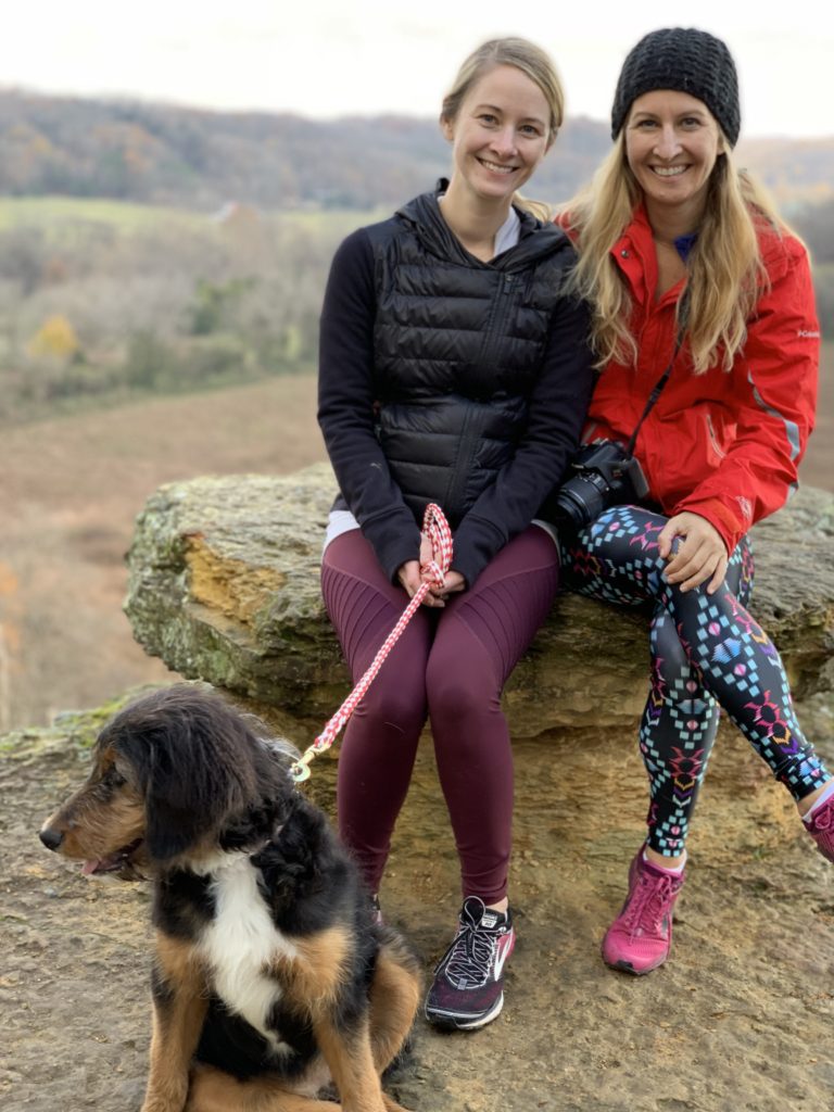
- Percy the dog at Percy Warner Park.
2. EDWIN WARNER PARK
Harpeth Woods Trail
Parking/Trailhead: Edwin Warner Parking
Parking Cost: Free
Distance: 2.4 miles*
Elevation Gain: 354 feet
Map: Edwin Warner Trail Map
Dogs: Allowed on leash
Edwin Warner Park is Percy Warner’s brother park. The parks’ namesakes, Percy and Edwin were actual brothers and Nashville park commissioners.
The two parks are adjacent and it is easy to pass between the two without realizing it. Edwin Warner is slightly less frequented than Percy Warner. The Harpeth Woods Trail is a hilly, well-traveled loop with a little less elevation change than Percy’s Warner Woods Trail. Follow the blue blazes.
Photos of Edwin Warner Park:
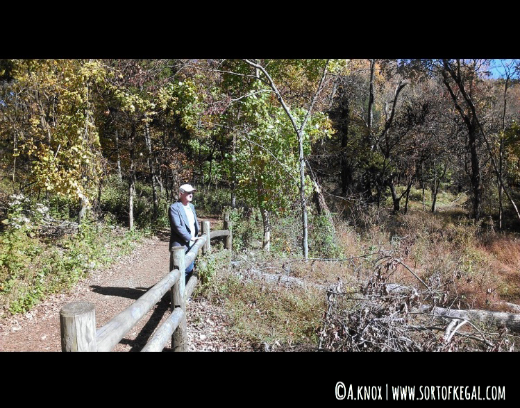
On the photographed occasion, we did not find our way to the dirt trail at Edwin Warner, woops, but it gives you an idea of the surroundings.
3. HARPETH RIVER STATE PARK: NARROWS OF THE HARPETH
Bluff Overlook Trail & Tunnel Trail
Parking/Trailhead: 1254 Narrows of the Harpeth Rd., Kingston Springs, TN 37082
Parking Cost: Free
Distance: <2 miles (combined including walk from parking lot)
Elevation Gain: 100 feet
Map: Harpeth River State Park Trail Map
Dogs: Leashed dogs permitted
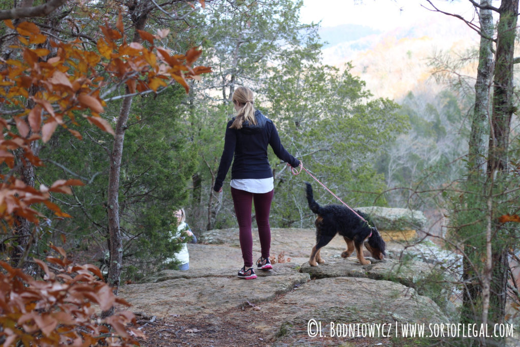
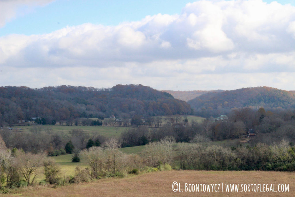
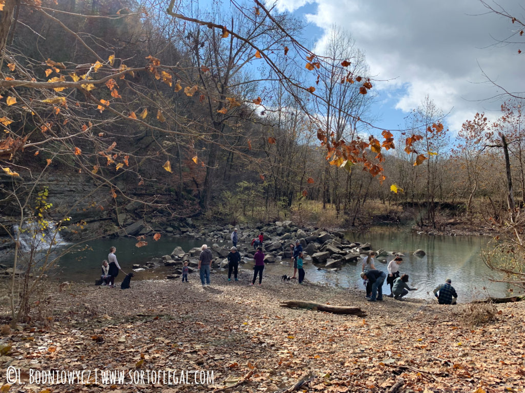
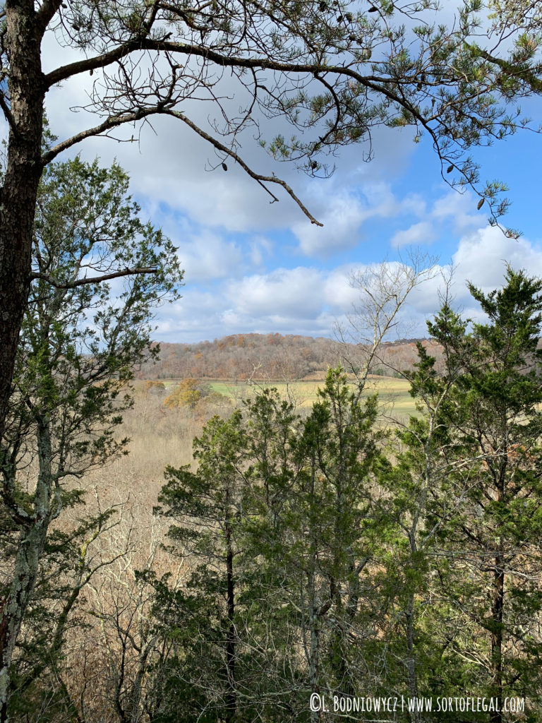
The Narrows of the Harpeth section of the Harpeth River State Park provides scenic overlooks and Tennessee history without having to put in too much work. A common hike is to combine the Bluff Overlook Trail and Tunnel Trail which still puts you under 2 miles. I’d love to go back when the leaves first start to change.
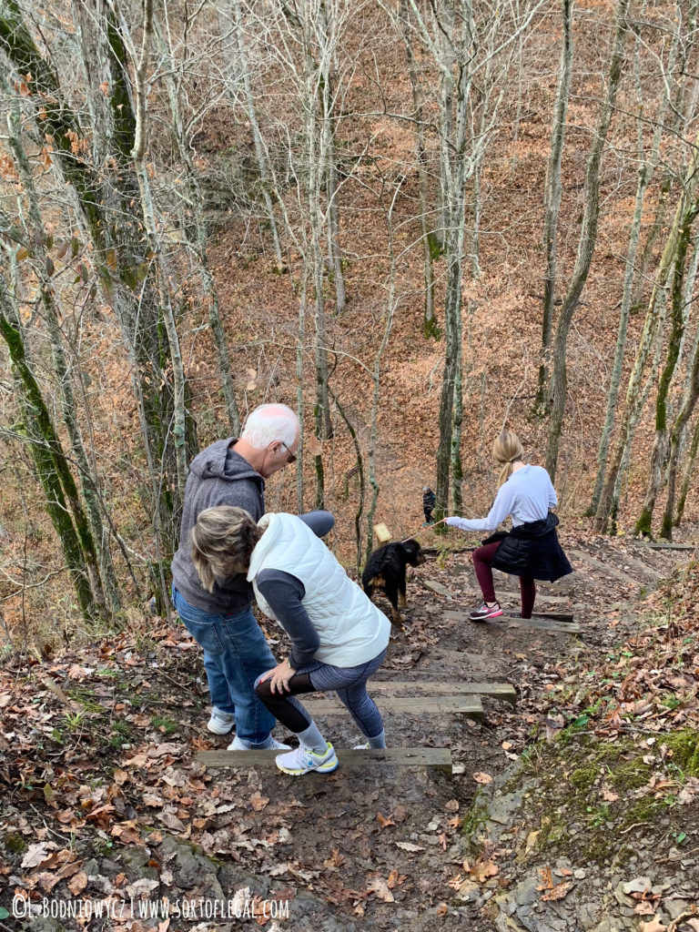
The Bluff Overlook Trail is short but steep with uneven ground. In some sections, you need to step or if you’re shorter like me, quasi-climb up rocks. The ground is slippery when wet. Along the way, there are significant drop-offs just a few feet to the side of the trail with no barrier to prevent falls.
These attributes make the trail feel a little adventurous but perfectly safe for most adults. However, I don’t think it is a great choice for young children who tend to wander unless they are young enough to be str
apped into a hiking pack. For reference, my parents who are in their mid to late 60s were able to handle and enjoy the trail by going slow and steady.
The Tunnel Trail is flat and short making it an ideal way for all ages and fitness levels to experience nature and history. It leads to the Montgomery Bell Tunnel (aka Patterson Forge Tunnel), the first successful water diversion tunnel in the United States. If there has been enough rain, the tunnel creates a pretty little waterfall into a little lake.
There is clearance to walk through the tunnel when there has not been a lot of rain but IT IS NOT SAFE!!! The tunnel is no longer architecturally sound.
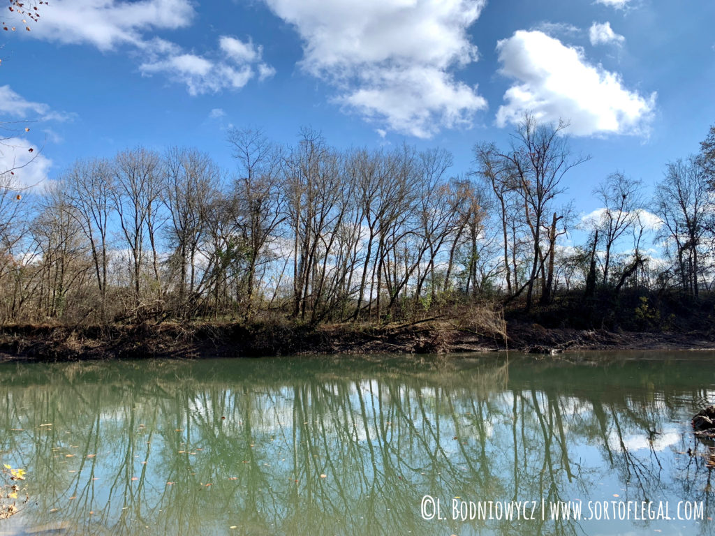
Photos of Narrows of the Harpeth:
4. RICHLAND CREEK GREENWAY
McCabe Loop Trail
Parking/Trailhead: McCabe Trailhead or Wyoming Trailhead
Parking Cost: Free
Distance: 3.8 miles
Elevation Gain: Negligible
Map: McCabe Trail Map
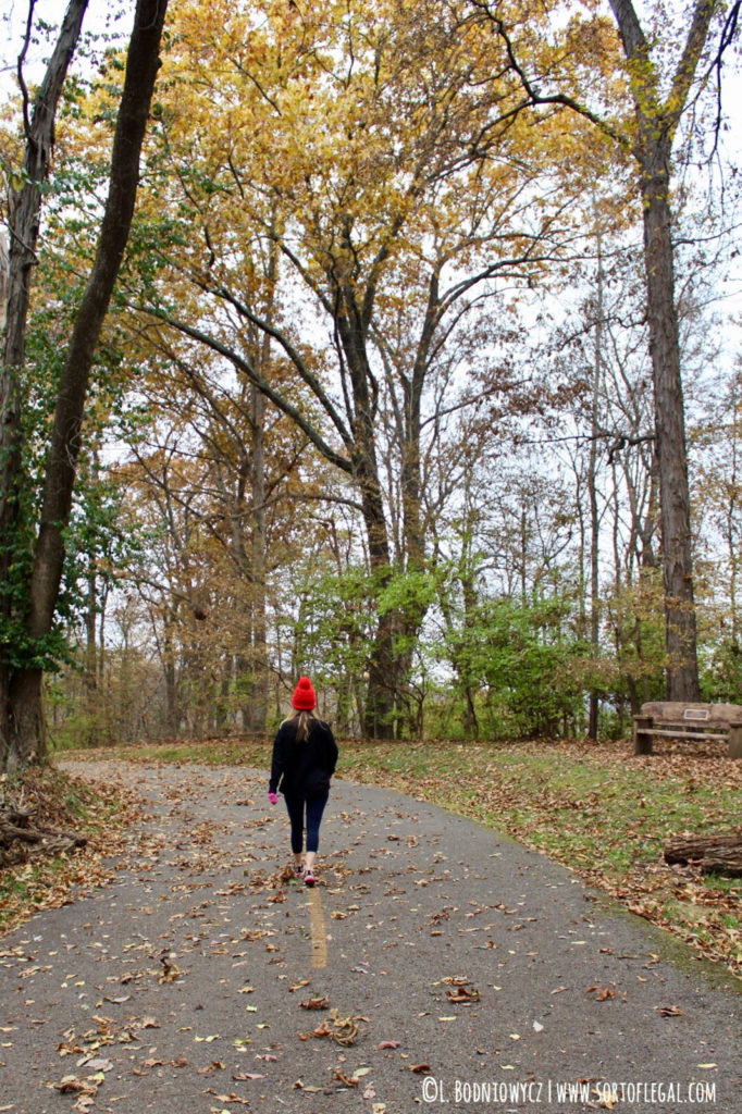
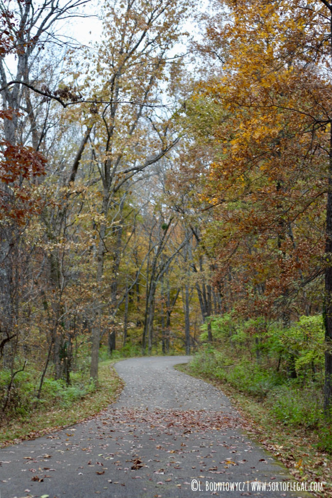
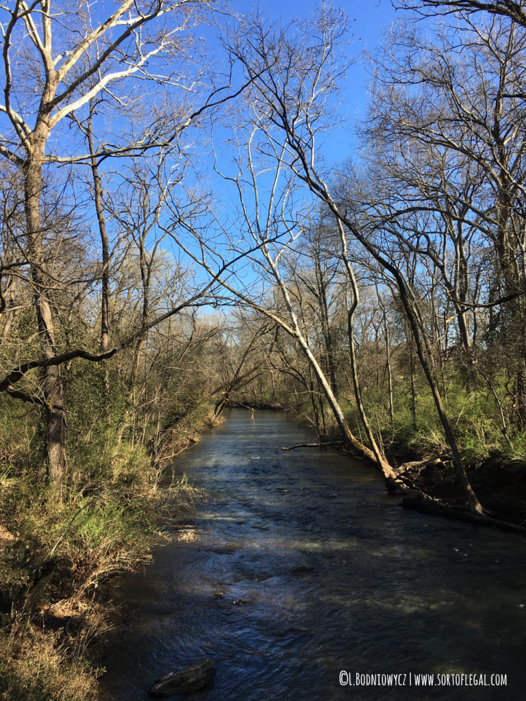
As I mentioned in a prior post on Five Nashville Must Do’s, Nashville has an expansive greenway system that offers walkable greenspaces throughout the city. The McCabe Loop Trail is one section of the system that while not as woodsy as the other options, this paved trail provides a nice vehicle free walk outside. It’s also very close to the Sylvan Park area of Nashville for post-walk shopping and eating.
Photos of Richland Creek Greenway:
5. RADNOR LAKE STATE PARK
Radnor Lake Trail + South Lake Trail
Parking: 1160 Otter Creek Rd, Nashville, TN 37220
Parking Cost: Free
Distance: 2.4 miles
Elevation Gain: 170 feet
Map: Radnor Lake Trail Map
Dogs: Dogs not permitted on trails
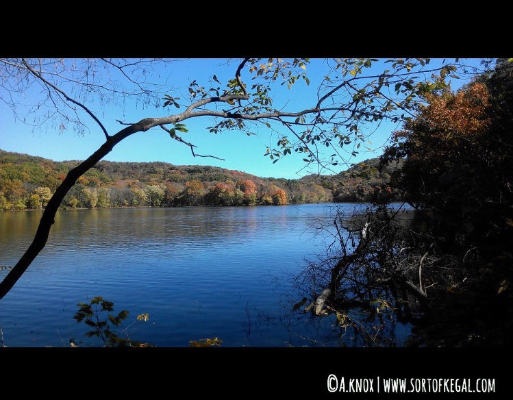
Loop around all of Radnor Lake, part of a 1,368 acre park designated a “Class II Natural Area” for a relaxing walk with the opportunity to spot some wildlife.
This is the only park on this list that I haven’t personally been to but the recommendation is from my sister who has lived in Nashville for about 7 years so it’s legit. (And, I’ll be working it into my next Nashville trip:)). Listed elevation gain based on this ALL Trails entry.
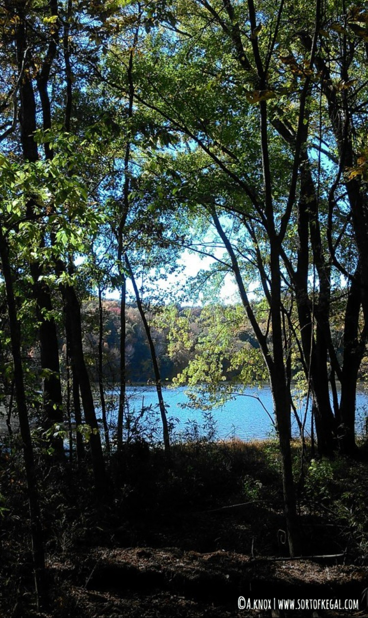
Photos of Radnor Lake (Courtesy of my sister):
*All distances and elevation gain approximate.
My favorite hiking shoe:
Lighter than a boot and better tread than a trail running shoe.

