
San Diego Hikes: Garnet Peak, Laguna Mountain Area – 360 Desert & Mountain Views and a Piece of the PCT
Garnet Peak Hike Basic Information
Trailheads:
Penny Pines Trailhead(12031 Sunrise Hwy, Julian, CA 92036)
Garnet Peak Trailhead
Distance:
2 miles – 6 miles+
Elevation Gain:
490 ft – 1,000ft+
Phone:
(619) 445-6235 (Descanso Ranger Office)
Parking:
Side of road or (very) small lot at Penny Pines Trailhead
*Feel free to scroll down for photos & more tips for the Garnet Peak hike*
At the beginning of this year, I signed up for a number of REI classes and events in an attempt to meet more people. The results were mixed. I serendipitous met a hiking buddy at the survival skills class and had a blast with a hilarious group at the rock climbing class.
On the flip side, I spent an informative but at times awkward two hours with the REI instructor at the lightweight backpacking class because no one else showed up! (It was raining that evening and San Diegans seriously cancel plans due to rain.) On a different occasion, I drove over an hour to hike to Garnet Peak only to have the hike cancelled due to weather. To be fair, it was the right call – there were sheets of sideways rain that left you soaked within 120 seconds.
This Sunday afternoon was redemption for that hike! I made it to Cleveland National Forest with good company. The two of us knocked out the Garnet Peak hike plus a few miles on the Pacific Crest Trail (PCT – yes, that’s the trail from Wild) where we saw a number of PCT backpackers. I was pretty stoked…and pretty creepy. I’d check out their gear as they walked away and wonder out-loud if they were threw hikers.
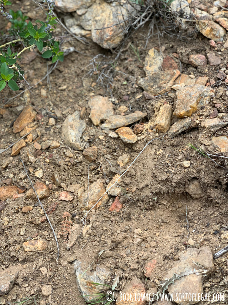
In other nature sightings: we also saw a few types of California lizards, birds gone wild, crazy bright red velvet ants, run of the mill red ants, black beetles (the song is cool, the insect is gross) and lady bugs (lucky!). There were quite a few flowers in bloom as well. I don’t know their names but the colors were white, purple, and yellow
Overall, a pretty perfect hike that only increased my love for the Laguna Mountain Area of Cleveland National Forest. The trails were not crowded and the few people we did pass were friendly, competent hikers. There’s enough elevation change and slight turns to make it interesting but not too difficult. Weather was a little warm at the bottom (I was in shorts and considered stripping down to just a sports brad) but chilly and windy at the peak, like need to cuddle up windy. Apparently this is the norm:
“But remember that no matter what time you choose for your hike, Garnet Peak is one of the windiest spots in the county.”
Modern Hiker (ModernHiker.com Garnet Peak Review)
Oh, and the views? Yes, they lived up to expectations. There really are 360-degree views from the peak. You can see forest on one side and a hint of ocean and deep, expansive desert on the other. Seeing both at once is really mind-blowing. By adding on some miles, we also got to walk along the edge of a steep drop down into the desert floor.
Photos of Garnet Peak Hike
Here are a few photos, which also lived up to my expectations of photos never being able to really capture the full beauty and enormity of a space:
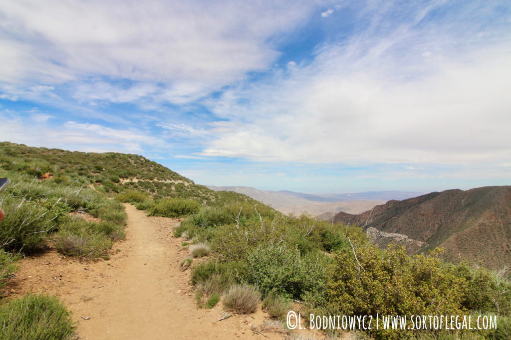
PCT en route to Garnet Peak Trail 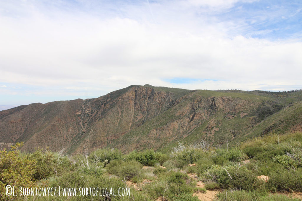
There’s a deep valley between where the photo was taken and the back wall. 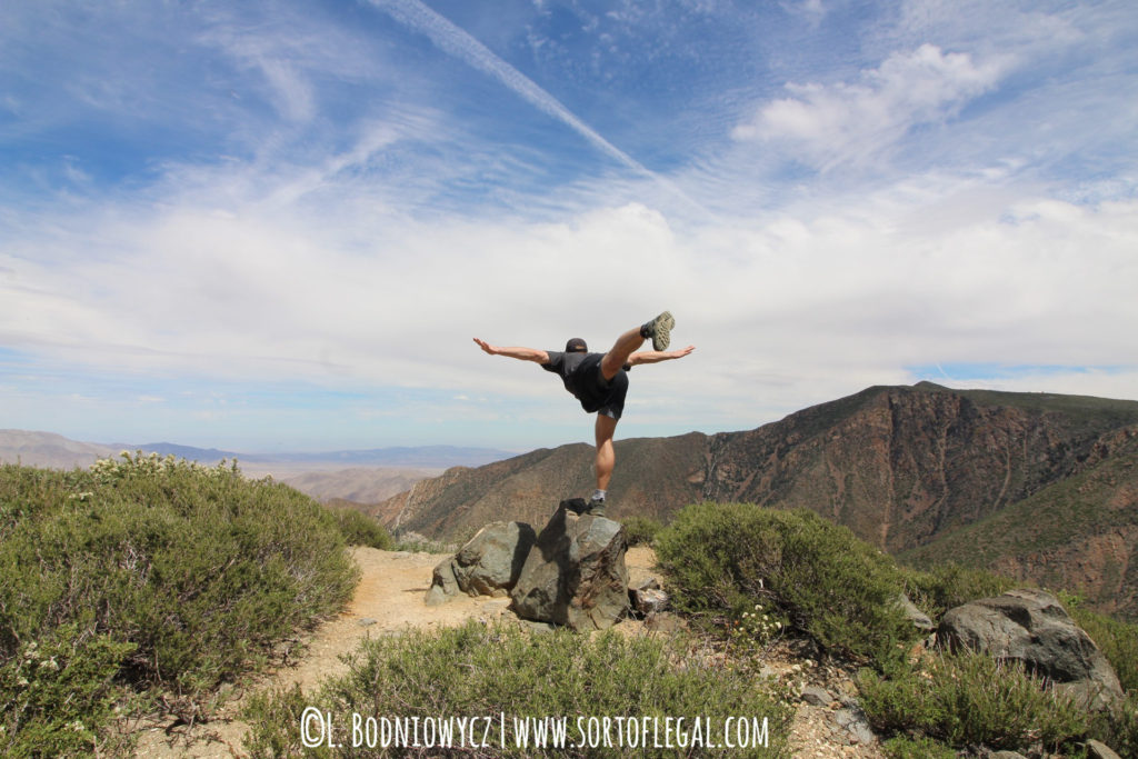
Me – “Do Yoga” | Daniel – “OK” (Proceeds to impress with this) 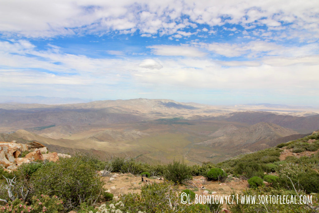
Desert side. 
Lucky ladybugs 
Forest side 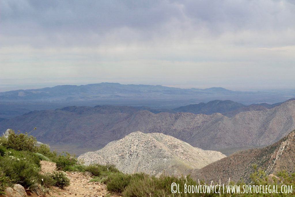
I LOVE these layers 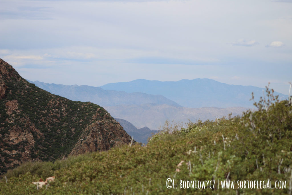
More layers 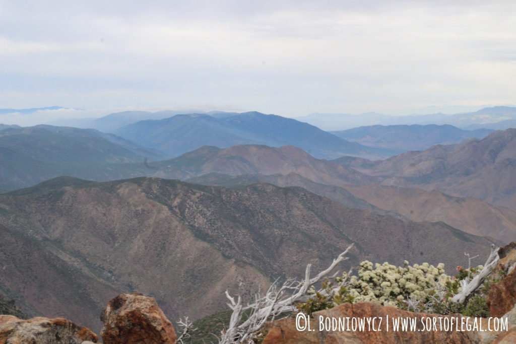
I know I wasn’t actually going to get blown off the peak but it sure felt like it! So I mostly stayed low.
How to Get to Garnet Peak
Getting to Trailheads for Garnet Peak
Like all the hikes in the Laguna Mountain Area, Sunrise Highway is your jumping off point. You can get to Sunrise Highway from Interstate 8 if you are coming past Pine Valley (the most common approach if you are coming from San Diego proper) or California Highway 79 if you are coming from the Julian area.
Getting to Garnet Peak from the Trailheads
The trails for the hike are marked and easy to follow because there are very few turns. You either follow the Pacific Crest Trail to Garnet Peak Trail (Penny Pines approach) and up to the peak or you just follow the Garnet Peak Trail the whole way (Garnet Peak trail approach).
Now, I do have to admit that we somehow missed the turn-off back to the Penny Pines Trailhead and ended up coming back to the road at a viewpoint and walking back to the car. That was 110% attributable to being engrossed in chit-chat and not being in any rush to finish. We were actually happy that the little extra brought us up to 6 miles and about 1,000 feet elevation gain.
Tips for the Garnet Peak Hike
- Bring you usual day-hike essentials.
- Layer up. As mentioned, thee peak is notoriously wind and weather can change quickly in alpine areas like this one.
- Expect intense seasonal weather. In winter, you could face any combination of snow, sleet, rain, and stormy winds. In summer, you’re more likely to encounter desert level heat (the trail is exposed) and strong winds.
- The hike is best on a clear day because you won’t have a full panoramic view on a foggy day.
- There are a few feet of easy scrambling to get onto the peak.
- The hike is at around 5,000 feet of elevation so don’t be hard on yourself if you get winded more quickly than usual. The peak is around 5,700 – 5,900 range, depending on the source.
My top day-hike essentials are typically my Camelbak with full bladder; small first aid kit, snacks, dry-sack, and my camera. If it’s bad weather or you’re interested in other hikes in the area, check out this post on trails in the Laguna Mountain area or this one focused on the Sunset Trail/Laguna Meadows Loop.

